 |
Detailed information about the Bieszczady National Park, Poland. Description, photographs and a map showing the nearest significant objects.
Bieszczady is the third largest National Park out of 23 parks in the country. Located in the Subcarpathian Voivodeship, in the southeast of the country, next to Ukraine and Slovakia. The park was created on August 4, 1973. At that time, it covered only 59.55 square kilometers of territory, but over the years the park has been expanded four times. The last expansions of the territory were made in 1999, when several former villages were included in the Bieszczady National Park.
 |
| Bieszczady National Park Poland |
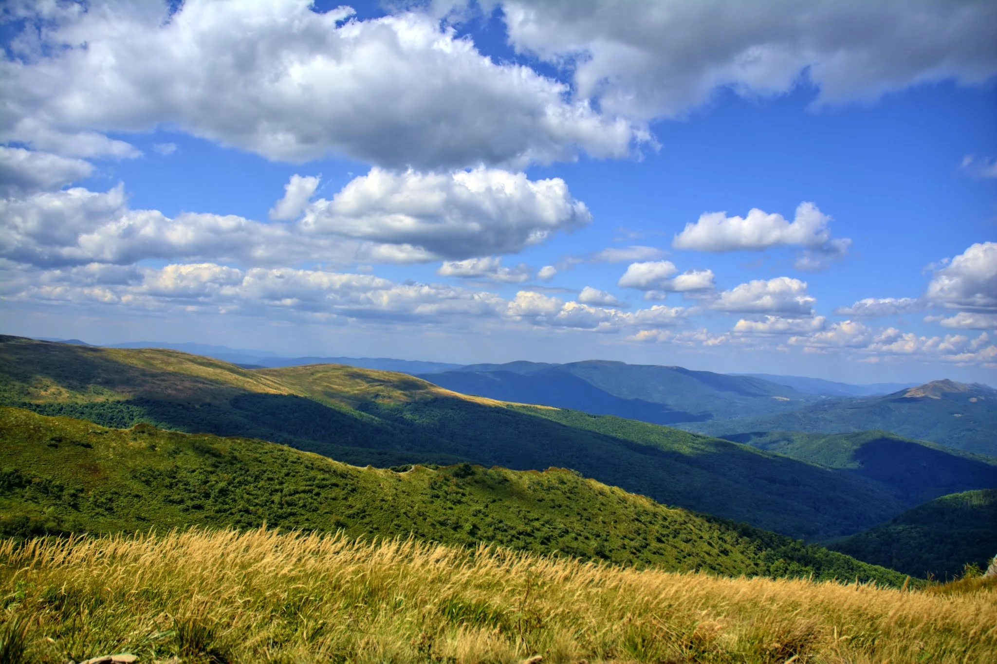
It currently covers an area of 292 square kilometers, covering the highest regions of the Bieszczady massif. The highest point of the national park is Mount Tarnitsa, which is 1346 meters above sea level. In 1992, the park and its surroundings became part of the "Eastern Carpathian Biosphere Reserve", which includes the neighboring regions of Slovakia and Ukraine.
 |
| Bieszczady National Park Poland |
Forests cover about 80% of the entire area of the park. About 780 species of plants, 250 species of mosses, more than 1000 species of mushrooms and 500 species of lichens grow here. Bieszczady National Park is inhabited by about 230 species of animals, among which there are moose, beavers, otters, foxes, wolves, wild boars, deer, bison, brown bears. The park is also rich in interesting bird species, including eagles and owls.
 |
| Bieszczady National Park Poland |
The area of the Bieszczady National Park is sparsely populated (less than 1 person per 1 sq. Km), which means that animals can move freely here. This region is very popular with tourists. About 70% of the park is considered a strict nature reserve, where there are no hiking trails.