 |
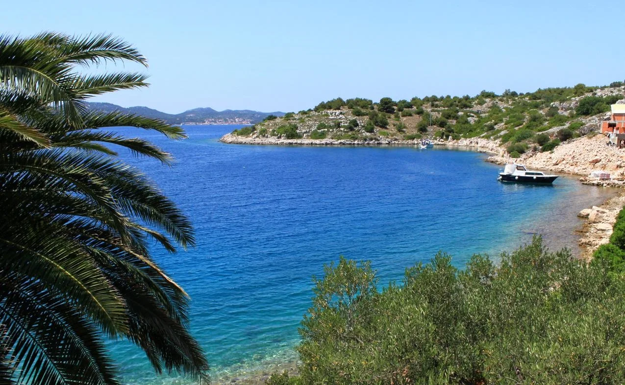
The island of Dugi Otok (Croatia) lies in the Zadar archipelago from its outer side. The island's elongated shape gave it its name. The island is surrounded by a large number of small and large islands, and on the south side it borders on the Kornati archipelago.
Active holidays on the island of Dugi Otok
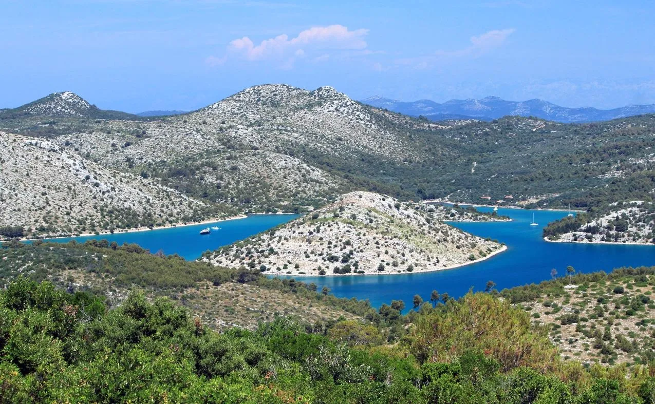
In the southern part of the island there is one of the most beautiful Adriatic bays, the Telashitsa Natural Park. This is a narrow bay surrounded by steep rocky walls - the Grpashchak cliffs, reaching a height of 100 meters, and at their top there is a large salt lake Mir.
 |
| Dugi Otok Croatia |
The western coast has a steep relief, but the rest of the shores are gentle and there are famous sandy beaches (Solishchitsa, Panther, Sakarun). In Telashchitsa Bay you will find several islets (the island and the bay of Farfarikulats ) that can be ideal for a Robinson Crusoe vacation .
The island of Dugi Otok offers comfortable conditions for diving ( Bozhava ), local waters will give fishermen a rich catch and other seafood, and here you can also get a lot of pleasure from windsurfing and yachting.
 |
| Dugi Otok Croatia |
Dugi Otok island tourist centers
The main and largest settlement of the island is the village of Sali. It is very convenient to get from it to Telashitsa to visit the Natural Park there. Another interesting village nearby is a summer residence on Veli Rat.
From the island of Dugi Otok, there is a ferry service to the holiday village of Zadar (Brbin, Bozhava, Zaglav, Sali).
