 |
Tassili N'Ajjer National Park is a sandy rock formation located on a vast plateau in the Sahara Desert, in the southeast of Algeria, on the border of Libya, Niger and Mali.
 |
| Tassili N'Ajjer National Park |
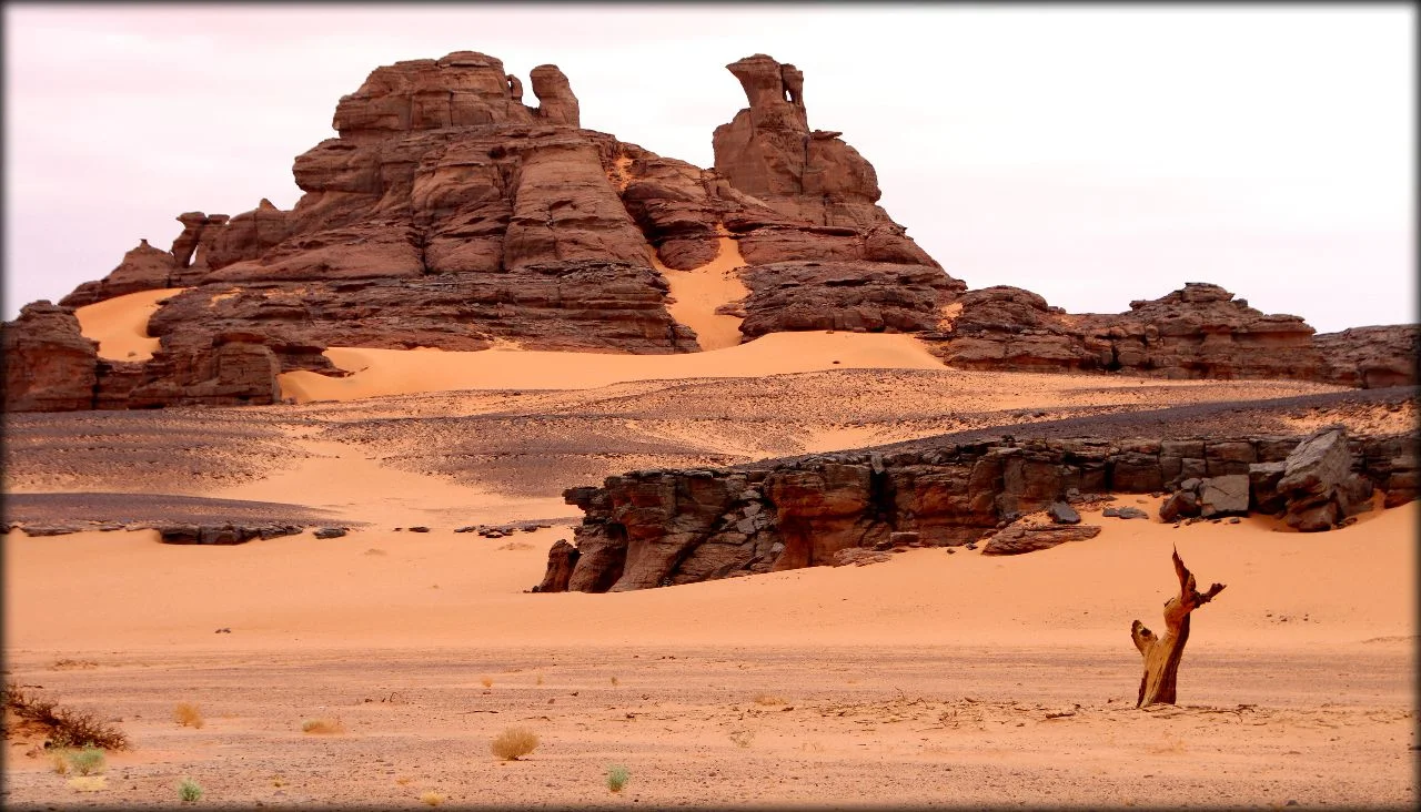
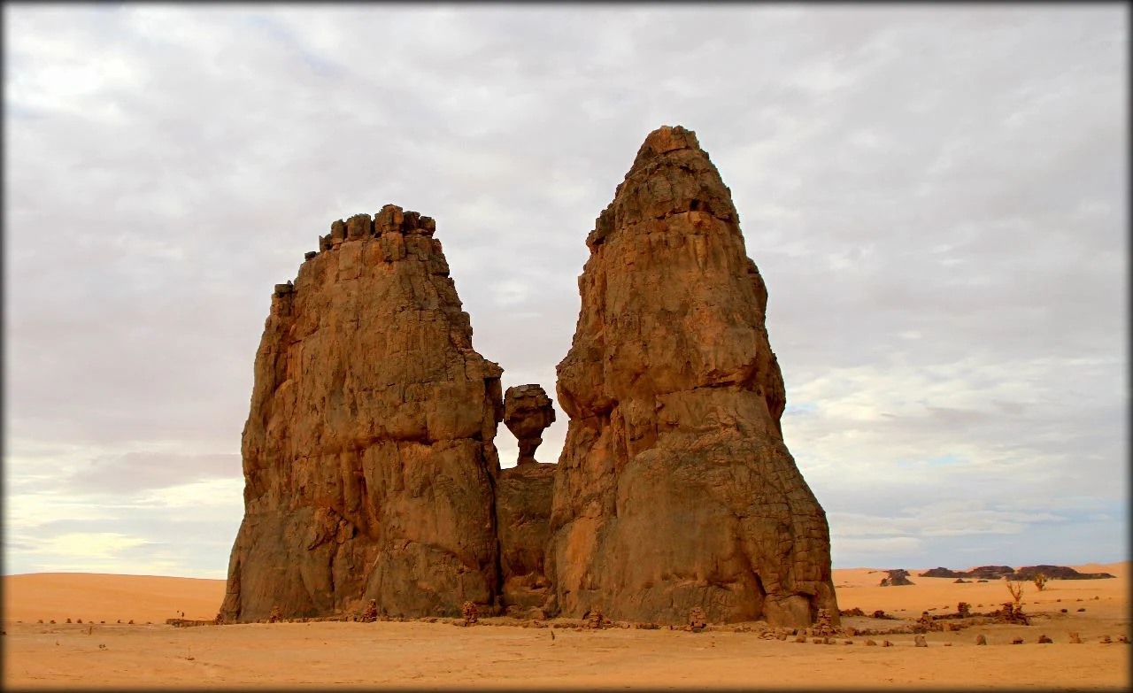
The plateau covers an area of 72,000 square kilometers. Since 1982, Tassilin-Ajer has been included in the UNESCO World Heritage List under the name “Tassili N'Ajjer National Park”. The mountain range is composed of sandstone, which, thanks to centuries of erosion, has formed more than 300 natural stone arches and other rock formations, as well as many caves.
 |
| Tassili N'Ajjer National Park |
Now the landscape of Tassili N'Ajjer resembles a stone forest, consisting of rocks of various shapes and sizes. The territory of the plateau is cut by wadis - dry river beds that once ran here. The plateau is located at an altitude of 1150 meters to 2158 meters above sea level, Due to the height and water-holding properties of the sandstone, the flora here is somewhat richer than in the desert surrounding the park.
 |
| Tassili N'Ajjer National Park |
The woodlands are composed of endangered endemic species - Saharan cypress and Saharan myrtle. The world-wide fame of Tassili N'Ajjer National Park was brought by the huge bright drawings discovered here in 1910, depicting people, animals and scenes from the life of the tribes who lived here.
 |
| Tassili N'Ajjer National Park |
In total, 15,000 petroglyphs and many archaeological objects (tools, arrowheads, scrapers, bones, grain grinders, stone knives) from different periods of history were discovered in Tassili N'Ajjer. The drawings depict herds of cattle, huge wild animals (elephants, rhinos, giraffes, hippos, crocodiles, ostriches, antelopes and extinct species of buffalo) and witness the evolution of mankind on the edge of the Sahara.