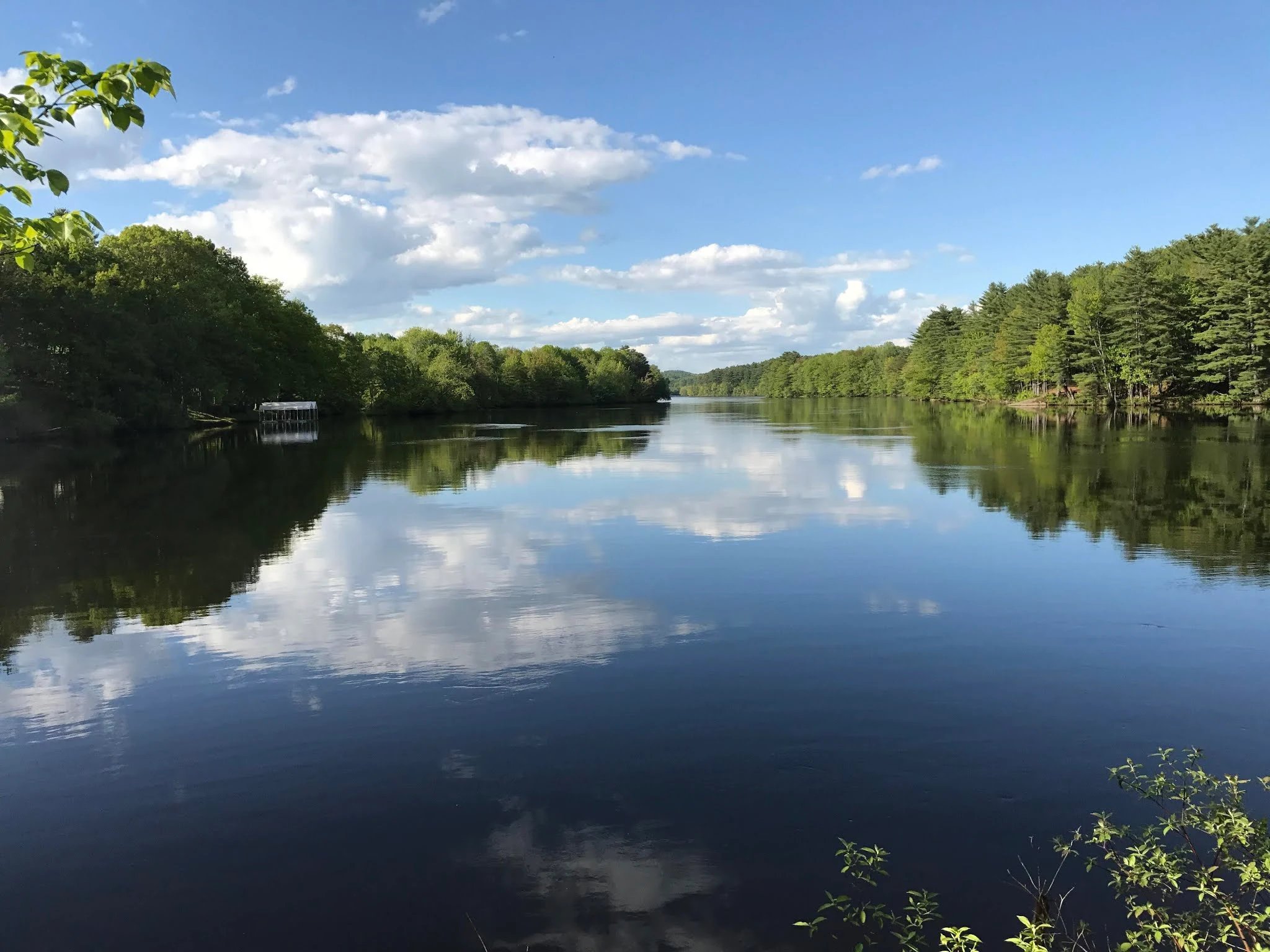
Androscoggin River is a river on the Atlantic side of the USA that runs through northern New England, in the states of Maine and New Hampshire. It is 286 km long and drains a 9,100 km² basin. It drains into Merrymeeting Bay, Maine, before draining into the Gulf of Maine into the Atlantic Ocean. Since Merrymeeting Bay is an inland freshwater bay that is often considered part of the Kennebec River, it is sometimes considered a tributary of the Kennebec Basin and sometimes a coastal river.
The name "Androscoggin" would come from the eastern Abenaki language, from the term/ aləssíkɑntəkw/ or/ alsíkɑntəkw, which means "river of shelters in rock cliffs" (river of cliff rock shelters ); or perhaps from the Penobscot language, from the term/ aləsstkɑtəkʷ, which means " river of rock shelters."
 |
| Androscoggin River |
Course
The Androscoggin River begins in Errol, where it is joined by the Magalloway River at the outlet of Lake Umbagog. The river generally flows southward, with numerous meanders past the towns of Errol and Milan and the city of Berlin, before turning east at the city of Gorham and cutting through the northern end of the White Mountains and entering the state of Maine. Continuing east, the river passes the towns of Bethel, Rumford, and Dixfield before turning south into the town of Livermore Falls and leaving the mountains behind.
The river passes through the twin cities of Lewiston and Auburn, turns southeast, past the community of Lisbon Falls, and reaches the tidal line just below the final waterfalls in the town of Brunswick. Merrymeeting Bay, freshwater and 16 km long.
 |
| Androscoggin River |
Water quality
The Androscoggin was a river heavily polluted by a variety of textile mills, paper mills, and other industries situated along its banks, and its status helped inspire the Clean Water Act. Much of environmental reclamation work and the exit of certain types of industry from the region, the latest EPA test results indicate unacceptably high levels of mercury, coming from wastewater discharged into the river by numerous paper mills.
An environmental group has cited the results calling Androscoggin one of the 20 most polluted rivers in America. A 23 km stretch requires oxygen bubblers to prevent the fish from suffocating. In May 2007, Environmental groups have filed a lawsuit to force the paper mills along the river to clean up their sewage. The companies have resisted, mentioned its cost.
 |
| Androscoggin River |
History
According to the USGS, the Androscoggin River name variants are as follows: Amasagu'nteg, Amascongan, Ambrose Coggin, Ammeriscoggin, Ammoscoggin, Amos Coggin, Amoscommun, Anasagunticook, Anconganunticook, Andrews Coggin, Andros Coggan, Andrus Coggin, Androscog Coggin, Androscog Coggan Aumoughcaugen, Pescedona and Ameriscoggin.
The Androscoggin falls an average of eight feet per mile, making it a major industrial river. It flows through Lewiston-Auburn, Maine, where it was a major source of energy for local industry.