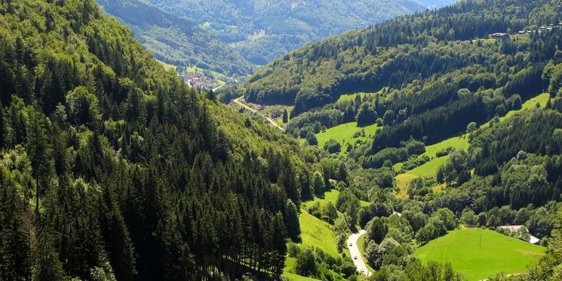
The Thuringian Forest (Thüringer Wald) is a 150 km long and 35 km wide forest, located in part of the federal state of Thuringa (Germany).
 |
| Thuringian Forest |
The Thuringian Forest in the strict sense comes to indicate only the western part that reaches the village of Neustadt am Rennsteig. This place attracts lovers of winter sports for the trails and cross-country ski routes that cross this mountain range. Famous trails are the Baumkronenpfand and the Rennsteig, this one goes through the forest.
 |
| Thuringian Forest |
Thuringia is one of the 16 federal states of Germany and is located in the geographic center of the country. The most important cities in this state are: Eisenach, Weimar, Erfurt, Jena and Gera. The old pilgrimage routes are other very busy areas, they are the Vía Regia trade routes related to that of the pilgrims to Santiago de Compostela, in Spain. In addition, this area has more than 20 spas and thermal centers.
 |
| Thuringian Forest |
Description of the Thuringian Forest mountain system
Green forests, crystal-clear rivers and picturesque landscapes surrounding the low hilly mountains - the Thuringian Forest is beautiful at any time of the year. This territory is part of the German Midlands, but in a narrower sense refers only to the mountain ranges in the northwest of the region.
 |
| Thuringian Forest |
The highest mountain in the Thuringian Forest, Beerberg, has a height of 982 meters. In summer and winter, the mountains offer excellent opportunities for relaxation in the middle of a calm natural landscape. To preserve the nature of the massif, a natural park of the same name was created.