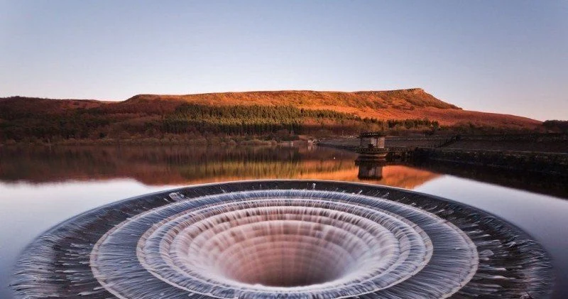
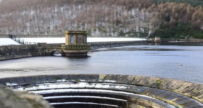
Ladybower Reservoir is a large Y-shaped reservoir, the lowest of three in the Upper Derwent Valley in Derbyshire, England. The River Ashop flows into the reservoir from the west; the River Derwent flows south, initially through Howden Reservoir, then Derwent Reservoir, and finally through Ladybower Reservoir. The area is now a tourist attraction, with the Fairholmes visitor center located at the north end of Ladybower. The eastern arm of the reservoir, fed by Ladybower Brook, is dominated by the Hordron Edge stone circle.
 |
| Ladybower Reservoir Derbyshire England |
The History of the Reservoir
The construction of the reservoir began in 1935, but due to the war, construction was delayed until 1945. To build a reservoir and a dam, several nearby villages had to be flooded. The grand opening was attended by King George VI with his wife, Elizabeth, the Queen. At that time, Ladybower was the largest body of water in Britain.
 |
| Ladybower Reservoir Derbyshire England |
How to get there?
If you want to photograph this unusual location, head to Derbyshire County. Distance from London: 232 kilometers. The journey by car will take about three hours.
 |
| Ladybower Reservoir Derbyshire England |
The nearest settlement to the reservoir is Bamford, and the nearest major city is Sheffield. It can be reached by train from London St Pancras International station. Next ˗ by taxi or rented car.