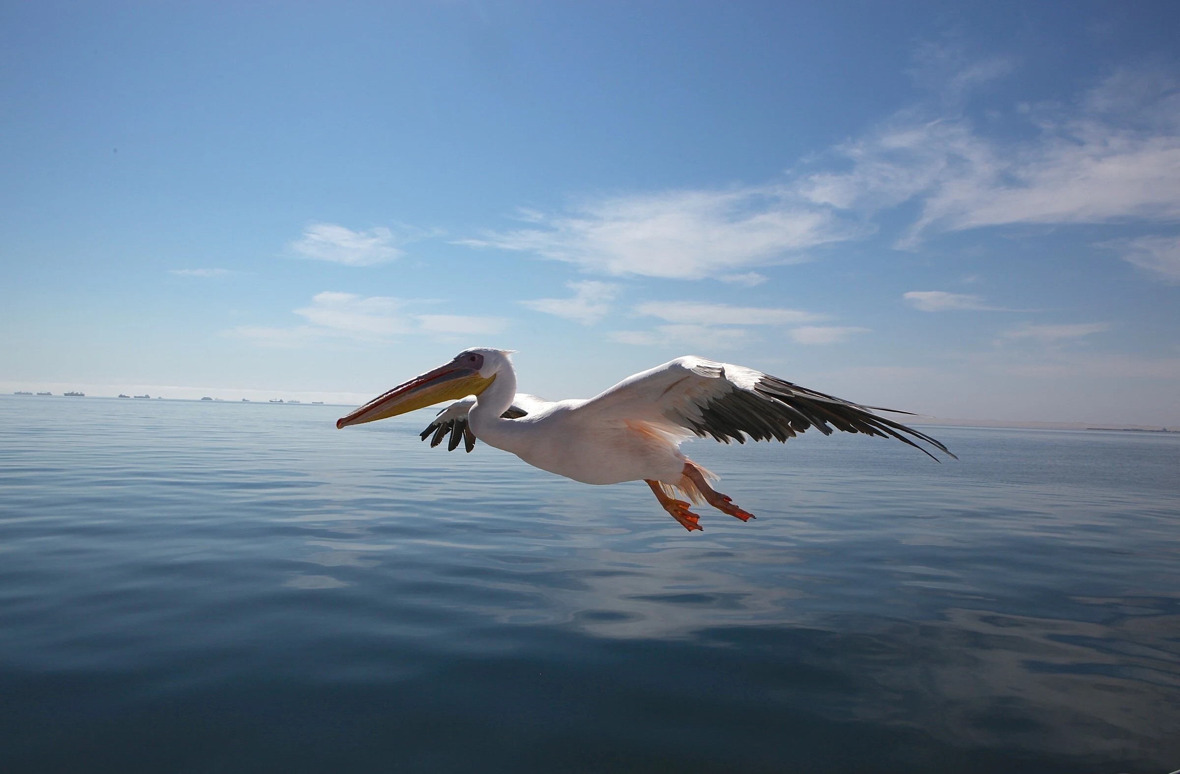
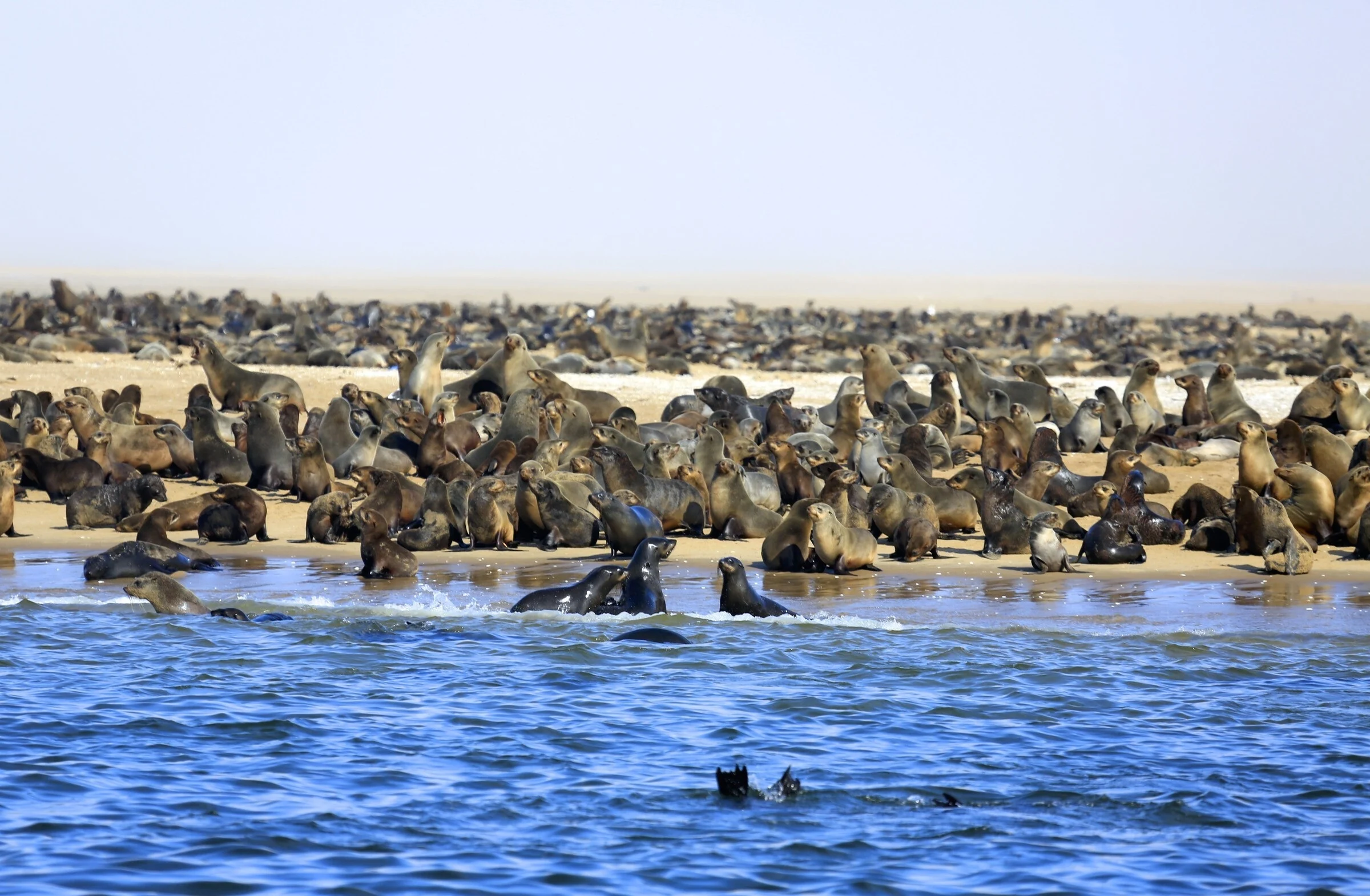
Walvis Bay (Namibia) - map and photos: With a population of about 65,000 inhabitants, the city of Walvis Bay is nestled in the bay of the same name. Located 30km south of Swakopmund it is the only true port between Lüderitz and Luanda in Angola. The bay has been a haven for ships due to its natural harbor, protected by the sand tongue of Pelican Point, which forms a natural breakwater and shelters the city from strong waves.
 |
| Walvis Bay Namibia |
These waters, rich in plankton and marine life, attracted large numbers of whales, which were followed by whaling ships and fishing vessels. Given its strategic position, Walvis Bay was repeatedly occupied by settlers (British and South African) who exploited the resources of this port settlement.
 |
| Walvis Bay Namibia |
The port's value relative to the sea route around the Cape of Good Hope drew the attention of world powers ever since it was discovered. This explains the complicated political status of Walvis Bay over the years. Since 1992 it is firmly in the hands of Namibia, being the second largest city in the country after Windhoek.
 |
| Walvis Bay Namibia |
The city is on the B2 road and at the end of the Trans-Namib railway line to Windhoek. In it we can find a police station, a medical center (Welwitschia Medical Centre), an information office, a post office, bookstores and an internet café. It also has several restaurants and accommodations.