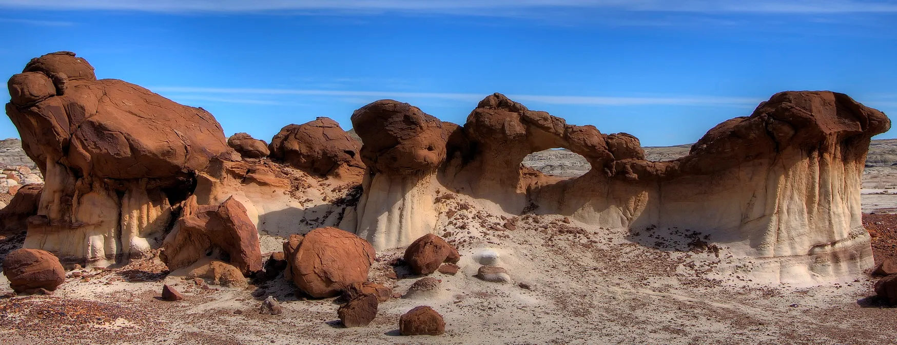
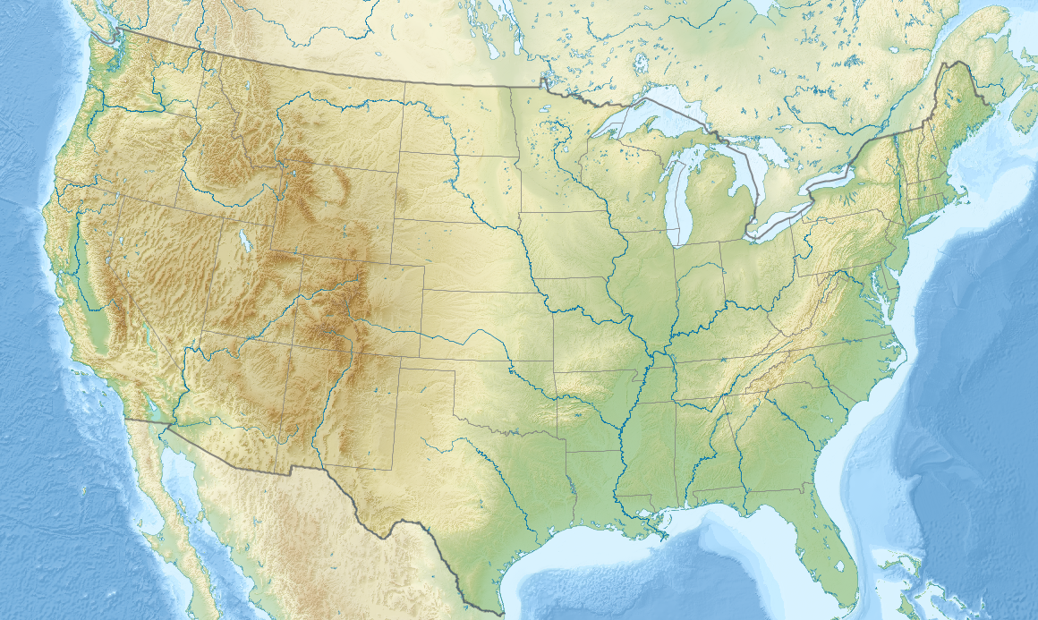
The Bisti/De-Na-Zin Wilderness is a 45,000 -acre (18,000 ha) wilderness area located in San Juan County in the U.S. state of New Mexico. Established in 1984, the Wilderness is a desolate area of heavily eroded badlands managed by the Bureau of Land Management, with the exception of three parcels of private Navajo land within its boundaries. The John D. Dingell, Jr. Conservation, Management, and Recreation Act, signed on March 12, 2019, expanded the Bisti/De-Na-Zin Wilderness by approximately 2,250 acres. Translated from the Navajo word Bistahí, Bisti means "between the adobe formations". De-Na-Zin, from the Navajo Dééł Náázíní, translates to "Standing Crane". Crane petroglyphs have been found of the desert. It is located on the Trails of the Ancients Byway, one of New Mexico 's Designated Scenic Byways.
 |
| Bisti/De-Na-Zin Wilderness New Mexico |
Prehistory and Geology
The area that includes the Bisti/De-Na-Zin Desert was once a river delta that lay just west of the shoreline of an ancient sea, the Western Interior Seaway, that covered much of New Mexico 70 million years ago. years. The movement of water through and around the ancient river built up layers of sediment. The swamps and the occasional pond that bordered the creek left behind large accumulations of organic material, in the form of what became lignite beds. At some point, a volcano deposited a large amount of ash, and the river moved the ash from its original locations. As the water slowly receded, prehistoric animals survived on the lush foliage that grew along the many riverbanks.
 |
| Bisti/De-Na-Zin Wilderness New Mexico |
When the water receded, it left behind a 1,400-foot (430 m) layer of sandstone, mudstone, mixed shale and coal that remained intact for fifty million years. Layers of sandstone were deposited on top of the ash and debris from the delta. Ancient sedimentary deposits were uplifted with the rest of the Colorado Plateau beginning about 25 million years ago. Six thousand years ago, the last ice age receded, and melting glacial waters helped expose fossils and petrified wood, and eroded rock into the now visible hoodoos. tawny sand and sage desert, in a world of grey, black, red and purple sands and rocks (see photo above).
The Wilderness badlands result from the erosion of the sandy layers of the Ojo Alamo Formation, exposing the thick volcanic ash deposit and beneath it the Fruitland Formation and the Kirtland Shale.
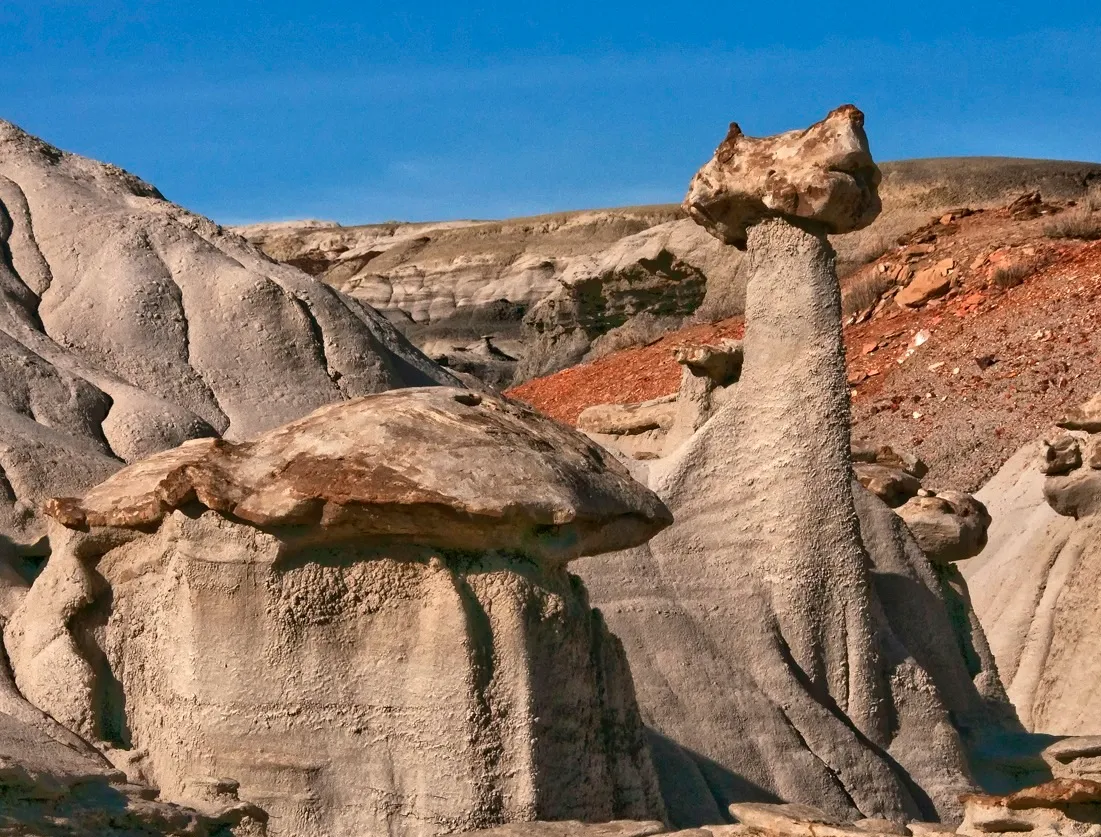
The western side of the Wilderness, formerly called the Bisti Wilderness, is primarily the Fruitland Formation. The eastern side of the Bisti/De-Na-Zin Wilderness, formerly called the De-Na-Zin Wilderness, exposes the Kirtland Shale. Ash covers much of these features. When the Wilderness area was still underground, water often and easily found its way into the ash layers. The water left lime deposits that eventually built up and became limestone tubes. As the softer layers wore away, the tubes were exposed.
 |
| Bisti/De-Na-Zin Wilderness New Mexico |
The tops of many of the all-gray hoodoos in the Bisti/De-Na-Zin desert are limestone. Ash erodes very quickly and does not hold water for long. These two qualities cause poor growing conditions and explain the general lack of plant life. Lignite beds, left by the swamps 70 million years ago, are now exposed in the extensive wash that forms the floor of the Bisti/De-Na-Zin Wilderness badlands.
Those lignite mounds match most of the petrified wood and fossils found in the desert. Organic debris is generally harder than lignite, so it wears down as the lignite erodes. Fossils in the desert preserve a record of freshwater life in and on the edge of the great delta at that time. Coal was present in the desert, and much of that coal was burned in an ancient fire that lasted for centuries. The clay on top of the coal seam was metamorphosed by heat into red "clinkers" that today look like small ceramic pots or perhaps brick chips, depending on size.