Norfolk County, England
Between the city of Norwich and the east coast of England, in a piece of land that covers the county of Norfolk and a small part of that of Suffolk, there seems to be a whole network of blue veins and green spots that, on the map, go getting bigger and bigger as we get closer to the sea.
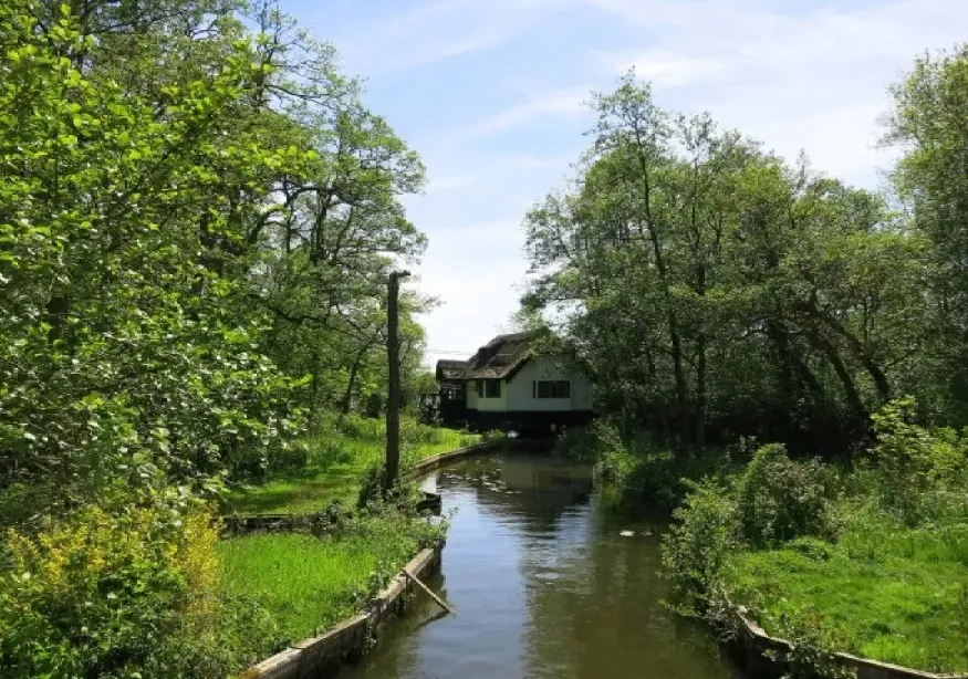
They are The Broads, a network of rivers and lakes that occupies more than three hundred square kilometers, of which almost two hundred are navigable.
It seems that lately I do nothing but talk about water but I like water, what am I going to do to it, because it is something that is not static, that is always flowing as that philosopher said and that, although it always seems the same, in reality it never it is. And, in The Broads, that water has been flowing for centuries, though not as many as one might think at first.
 |
| The Broads England |
Because one of the things that is most striking about this area is that, although it may seem so, all that great extension formed by seven rivers and approximately sixty-three lakes or swamps, has not been the result of nature or, at least, only It has been in a small part.
 |
| The Broads England |
A job that took centuries
It is true that the rivers were there long before the rest, but the lakes were not. These were completely created by the action of man.
That's when you think that, probably, it was the technical development of the 19th century that allowed this change of landscape, in any case similar things were done in other areas of England and the United Kingdom: canals, the new railways, areas of kilometers of industrial plants,… but in relation to this, The Broads are not what they seem either.
Because they were not created with any technical help but completely manually and, also, much earlier than anyone supposed, since it was only from the sixties of the last century when it became known that the people of these regions, for generations, they had been steadily taking from the earth the peat they needed for heating and cooking, from virtually the 9th to the 13th centuries.
From that time and through the centuries, the warming of the climate filled the gaps with water and created the landscape that can be found today.
 |
| The Broads England |
The Broads on a pleasure boat
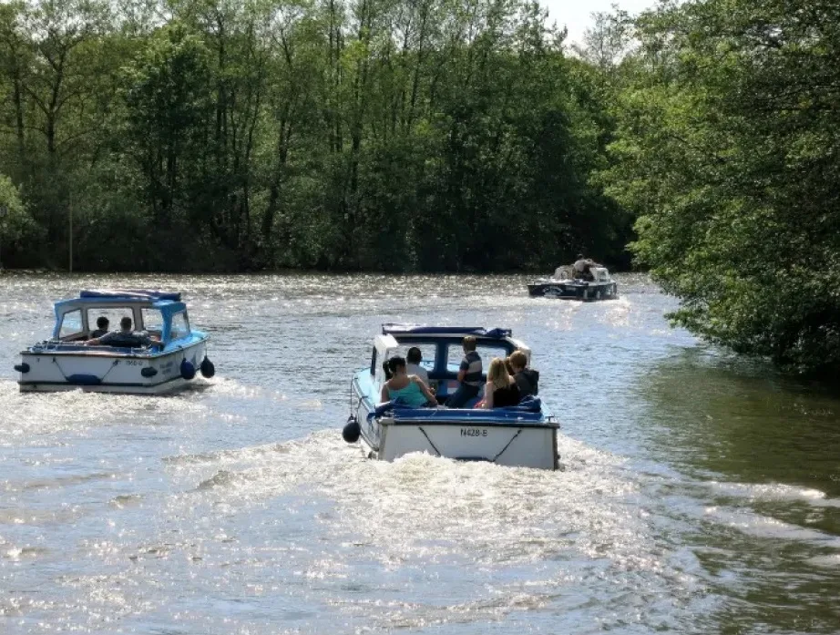
The depth of the water is not very deep, perhaps four or five meters at most, so the boats that now sail there are always pleasure boats and their speed is controlled. But there were attempts to make them deeper so that the merchant city of Norwich, and its cloth and wool trade, could be linked to the North Sea and the ports of northern Europe.
 |
| The Broads England |
Now you can rent small boats or canoes, and spend hours lost in different riverbeds, ponds and lagoons, but it is not something new since it has been done since the end of the 19th century when the railway reached the populations that had previously lived almost isolated.
 |
| The Broads England |
The water in The Broads moves at a slow, unhurried pace. The care of the local authorities, who consider the area a national park, make the water lilies grow and the birds reproduce incessantly. There is nothing to block the passage from a river to a lake, from one lagoon to another, so you can navigate for hours without interruption, visit the villages that are found on the shore, with their pubs and churches, although the The extent covered by The Broads is so great that to know them all we may have to content ourselves with the map alone.
