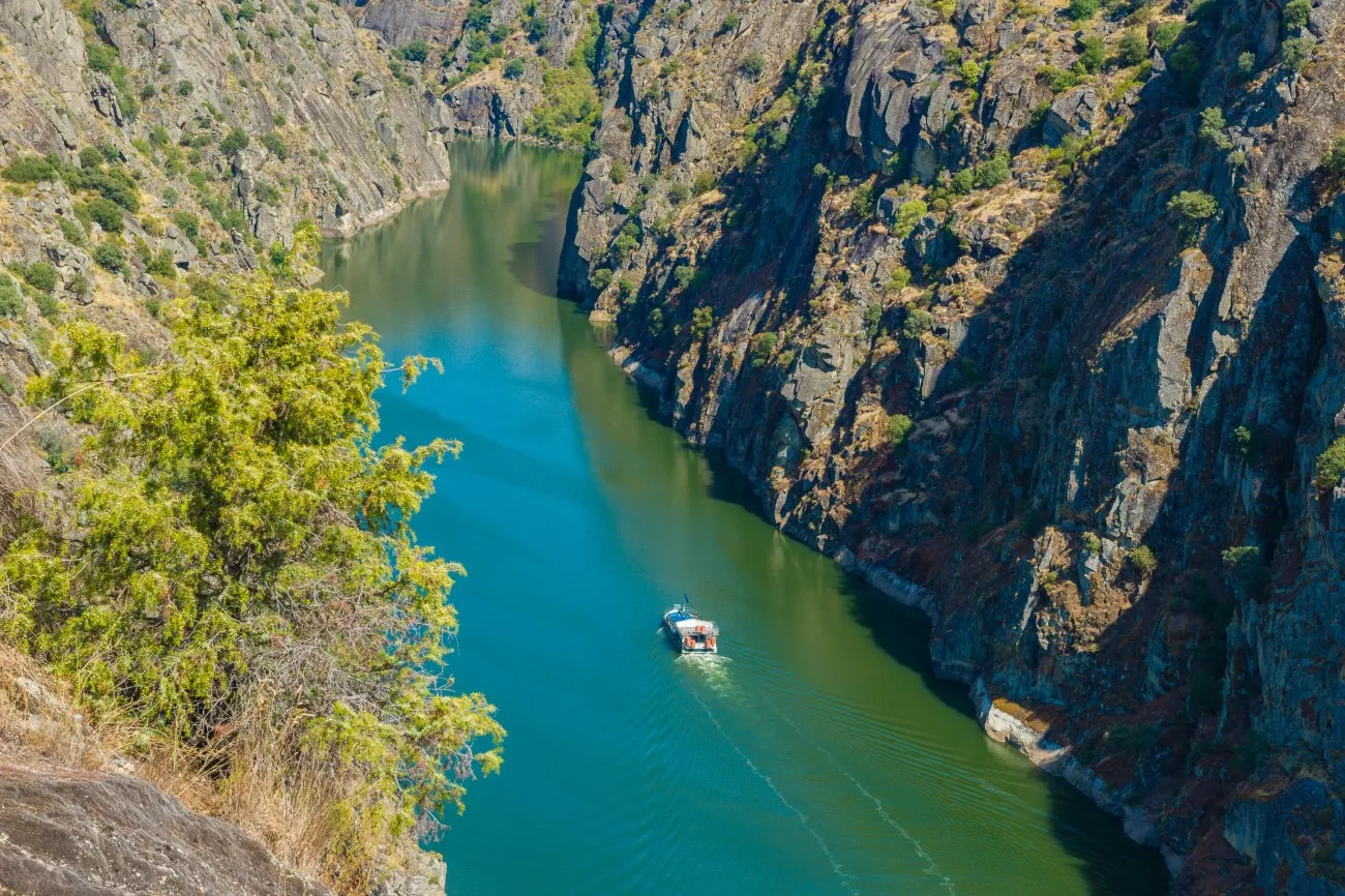
Douro International Natural Park is one of the thirteen natural parks in Portugal. It is located in the municipalities of Miranda do Douro, Mogador, Freixo de Espada à Sinta and Figueira de Castel Rodrià, covering a long area along the Douro River where it functions as the border between Portugal and Spain (hence "International Douro"). The park also includes the border zone of the Agueda River. The park was created to protect the picturesque landscape of the region, as well as its flora and fauna.
 |
| Douro International Natural Park |
The Nature Park
The Douro International Natural Park is located to the west of Zamora and Salamanca, where the deep incisions of the Douro River are the natural border between Spain and Portugal, dividing an area of identical characteristics between both countries. The Douro and its tributaries are the common element and link of an entire territory that extends linearly for more than 120 km.
 |
| Douro International Natural Park |
Its territory is a protected natural space to preserve the level of conservation of its natural ecosystems and landscape values in harmony with traditional uses, rights and exploitation and with the performance of compatible educational, scientific, cultural, recreational, tourist or socioeconomic activities.
The European Union also protects the biodiversity of Arribes through the Natura 2000 Network, through the figures of special conservation zone and special protection zone for birds and Unesco recognized in 2015 the level of conservation genetic resources, species, ecosystems and landscapes of Arribes, including the territory of the natural park within the Meseta Ibérica.