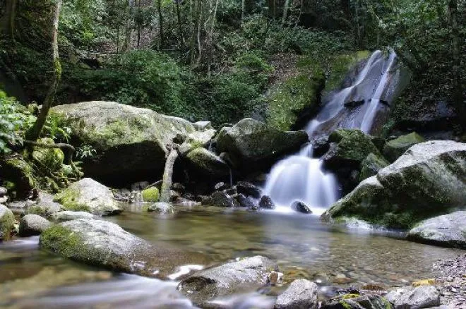
Kinabalu Park, the entrance to Mount Kinabalu, is situated at 1,585 meters above sea level and is the main starting point of the trail leading to the summit of Mount Kinabalu. It covers an area of 754 km2 and consists of Mount Kinabalu, Mount Tambayukon and the slopes. Kinabalu National Park (declared a World Heritage Site in 2000 ).
 |
| Kinabalu Park |
Location
Located in the State of Sabah, to the north of the island of Borneo, the Kinabalu Park extends to the foot of the mount of the same name, which, at 4,095 meters high, is the highest of those that rise up in the Himalayas. and New Guinea. The site has a wide variety of habitats: lowland and hill tropical rain forests, montane tropical forests, and, at higher elevations, subalpine forests with evergreen scrub. Given the great richness of its vegetation that has numerous native plants and specimens of the pantropical flora and the floras of the Himalayas, China and Australia, this park has been designated the Center of Botanical Diversity of Asia Sudoriental.