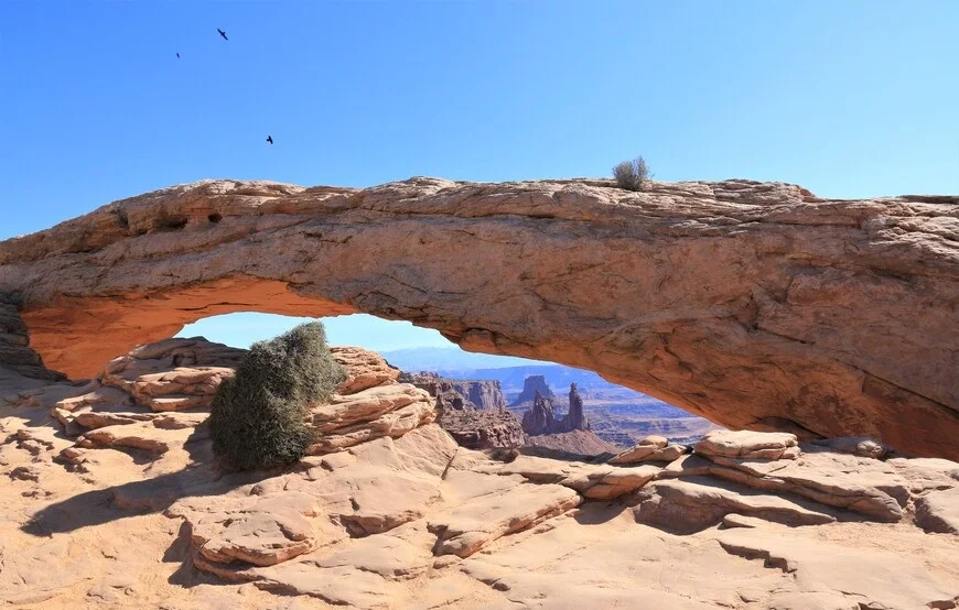
Mesa Arch in the Canyonlands National Park in the United States is usually the first to meet tourists who come to explore the amazing landscape of this area. It is customary to come here at dawn and watch the sun illuminate the inner surface of the stone bridge. We, too, were no exception, and early in the morning in pitch darkness went on a date with the canyons of Utah, which were previously developed as a source of oil and uranium, and now have become a source of simple joy - to meet the birth of a new day in the company of photographers and other tourists at one of the main attractions of the United States.
 |
| Mesa Arch Canyonlands Utah |
Mesa Arch
I was curious if the play of light on the surface of the Mesa Arch would be different compared to what we saw the day before: and the day before we saw the sunset in the nearby Arches National Park, at the famous Delicate Arch, which adorns not only the local territory, but and many Utah license plates. But now it's a new day, and we parked at the start of the trail to Mesa Arch.
 |
| Mesa Arch Canyonlands Utah |
How to get there
Getting to Mesa Arch is easy. From Highway 191 in Utah, take the 313 and at the next fork, turn onto the scenic Grand View Road, which leads deep into the Canyonlands. In total, you need to drive 44 km from the turn onto Highway 191.
 |
| Mesa Arch Canyonlands Utah |
Trail to Mesa Arch
In the dark, we set off on a hike to Mesa Arch, to which a not at all difficult trail leads - convenient steps were made from the road a little down. But you need to arrive early in order to be at the arch not only before dawn, but also in order to have time to take a seat. One of the photographers told everyone around him that he had been waiting at the arch for dawn since half past five in the morning.
