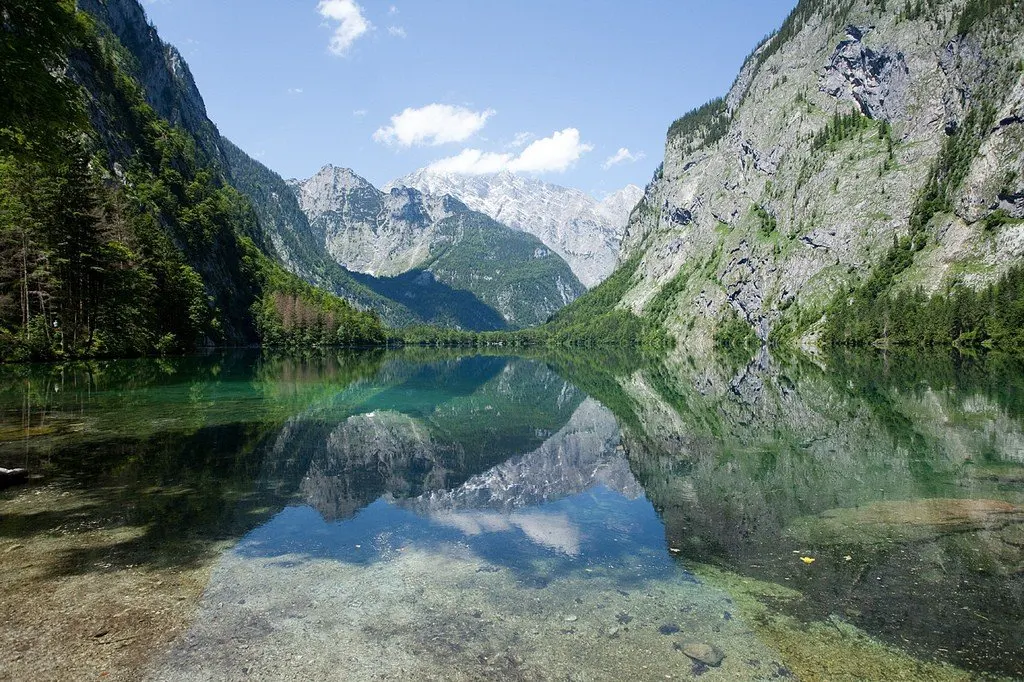
Berchtesgaden National Park, Germany's only alpine national park, is located in the southeastern part of the country in Bavaria, on the border with the Austrian state of Salzburg. The alpine landscape is characterized by dense forests, rocky cliffs, deep gorges and glaciers, complete with idyllic pasture valleys.
 |
| Berchtesgaden National Park |
General Information
The Alpine regions of the south have belonged to the territory of Bavaria since the early Middle Ages, when numerous mountain villages, including Berchtesgaden, were settled in the 11th-12th centuries.
 |
| Berchtesgaden National Park |
The Berchtesgaden National Park covers an area of 210 sq. km, including the Watzmann mountain range, whose mountains rise to an impressive height of 2713 m, and Königssee, a stunning 5.2 sq. km surrounded by majestic mountains. Representatives of the royal families of Bavaria were especially fond of visiting here. Kelyitainhaus - "Eagle's Nest" - a residence built as a gift for Hitler's fiftieth birthday, wonderful views of the valley open from here. Tourists are also attracted by the remains of Hitler's residence in Obersalzburg.
To the north of the national park lies the city of Berchtesgaden, whose history dates back to 1102. The city was owned by the Austrians, French and Bavarians. The salt mines attract up to 40,000 visitors a year.
 |
| Berchtesgaden National Park |
The national park, declared a UNESCO Biosphere Reserve in 1990, is known for its populations of chamois, roe deer, red foxes and griffon vultures. Less commonly, you can see bearded lambs, golden eagles and snow finches.