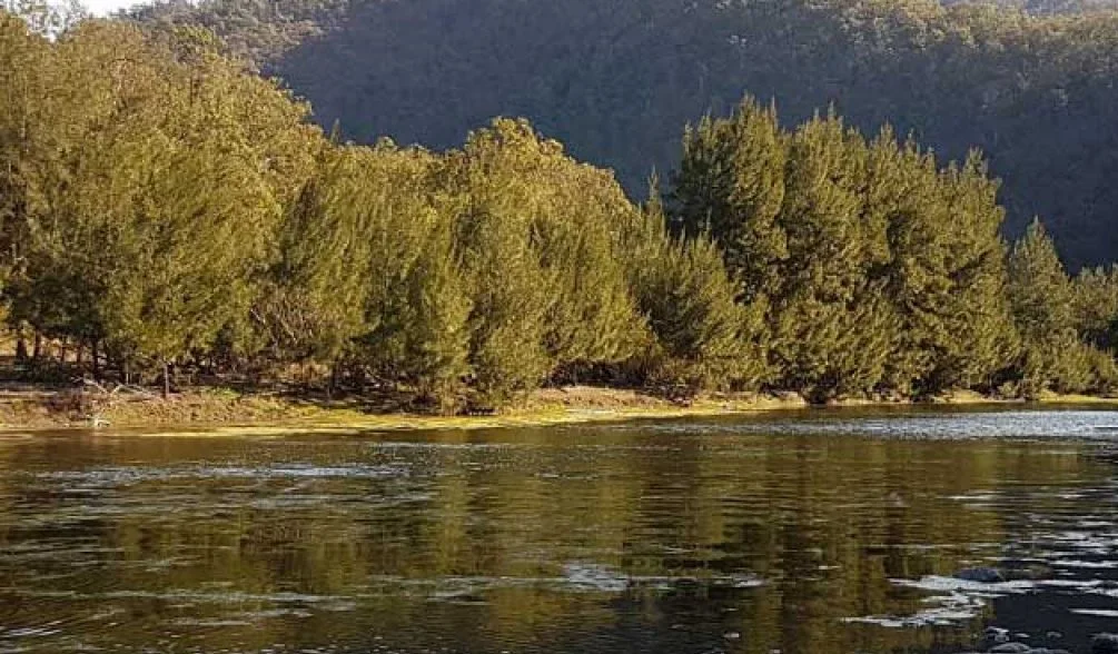
The Guy Fawkes River National Park, a national park comprising 100,590 hectares (248,600 acres), is located on the eastern edge of the New England Tablelands and the western edge of the Dorrigo Plateau, in northeast New South Wales, Australia.
 |
| Guy Fawkes River National Park |
Access to the national park is via the Waterfall Way, near Ebor, 46 kilometers (29 mi) southwest of Dorrigo and 80 kilometers (50 mi) northeast of Armidale. The national park is located about 560 km north of Sydney. Additional access points to more remote parts of the national park are via Armidale Grafton Road, Marengo Road at Ernani, Shipstation Creek Road at Dandurrabine, Ellis Road, and Boundary Creek Road south of Nimboida; or from Old Grafton-Glen Innes Road, via Chaelundi Road in Dalmorton. From the west, the national park can be accessed via Wards Mistake.
 |
| Guy Fawkes River National Park |
Guy Fawkes National Park has over 40 plant communities, 28 endangered plant species, 24 endangered fauna species, and significant areas of old-growth forest protected within the park. The Guy Fawkes River enters the Northern Tablelands at Ebor Falls. There are impressive examples of valleys and rugged river gorges, including the deeply incised valley of the Guy Fawkes River along an ancient fault line through the park. The rugged canyons of Aberfoyle, Sarah, and Henry Rivers also run through the park.